Difference between revisions of "File:Riverhold Map.png"
Jump to navigation
Jump to search
(Rough map of Riverhold) |
(Ludo uploaded a new version of "File:Riverhold Map.png": Fixed missing links in wheat fields) |
(No difference)
| |
Revision as of 22:40, 8 August 2013
Rough map of Riverhold
File history
Click on a date/time to view the file as it appeared at that time.
| Date/Time | Thumbnail | Dimensions | User | Comment | |
|---|---|---|---|---|---|
| current | 21:09, 11 August 2013 | 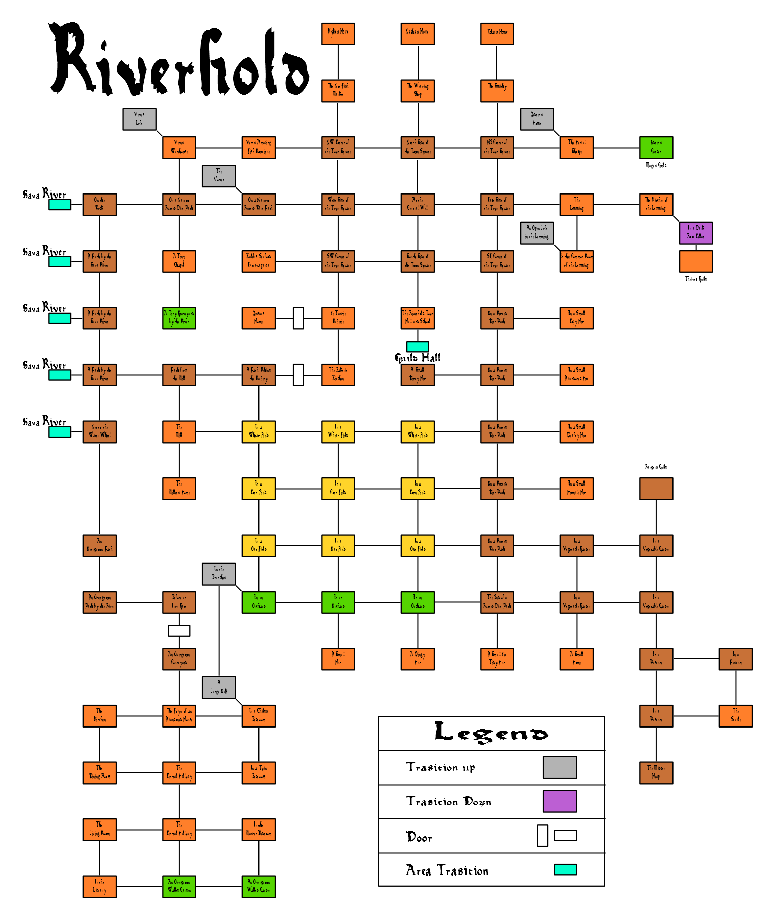 | 1,537 × 1,823 (131 KB) | Ludo (talk | contribs) | Added area names and fixed a few paths. |
| 22:40, 8 August 2013 | 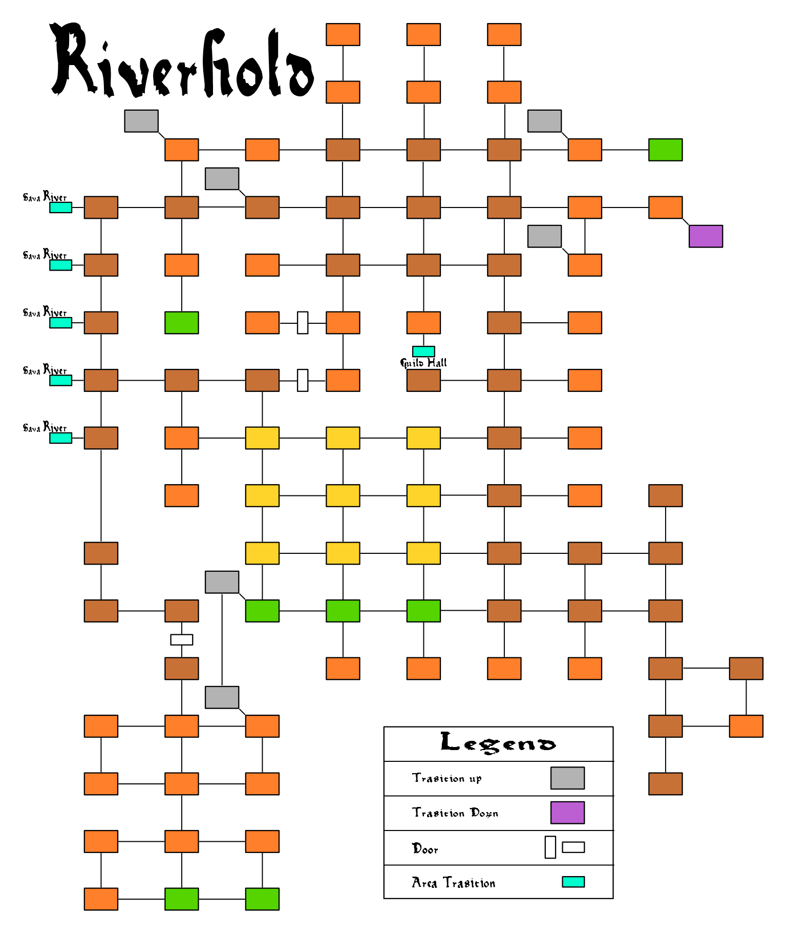 | 1,537 × 1,823 (60 KB) | Ludo (talk | contribs) | Fixed missing links in wheat fields | |
| 22:25, 8 August 2013 |  | 1,537 × 1,823 (60 KB) | Ludo (talk | contribs) | Rough map of Riverhold |
You cannot overwrite this file.
File usage
The following page uses this file: